Map the Future

Shape the world from the ground up - build a rewarding career in surveying

What geospatial surveyors do

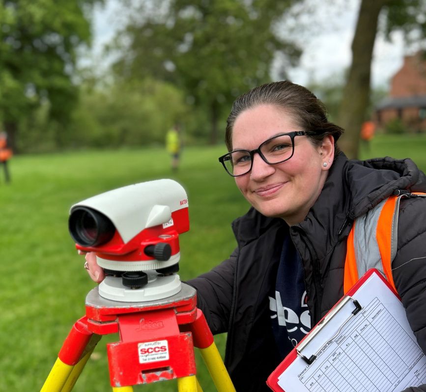
Geospatial surveyors collect, measure, and analyse data about the Earth’s surface. Using advanced tools like drones, GPS, and LiDAR, they create accurate maps, models, and spatial databases. Their work supports industries such as construction, environmental science, utilities, and urban planning—helping shape the world through precise data.

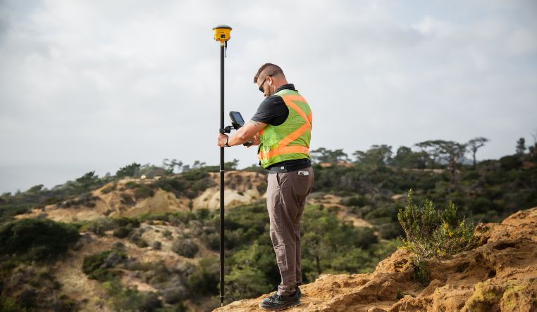
Surveyors use cutting-edge tech like GPS, drones, laser scanners, and satellite data to measure the earth with amazing accuracy. The information they collect becomes the blueprint for architects, engineers, and builders to bring projects to life.

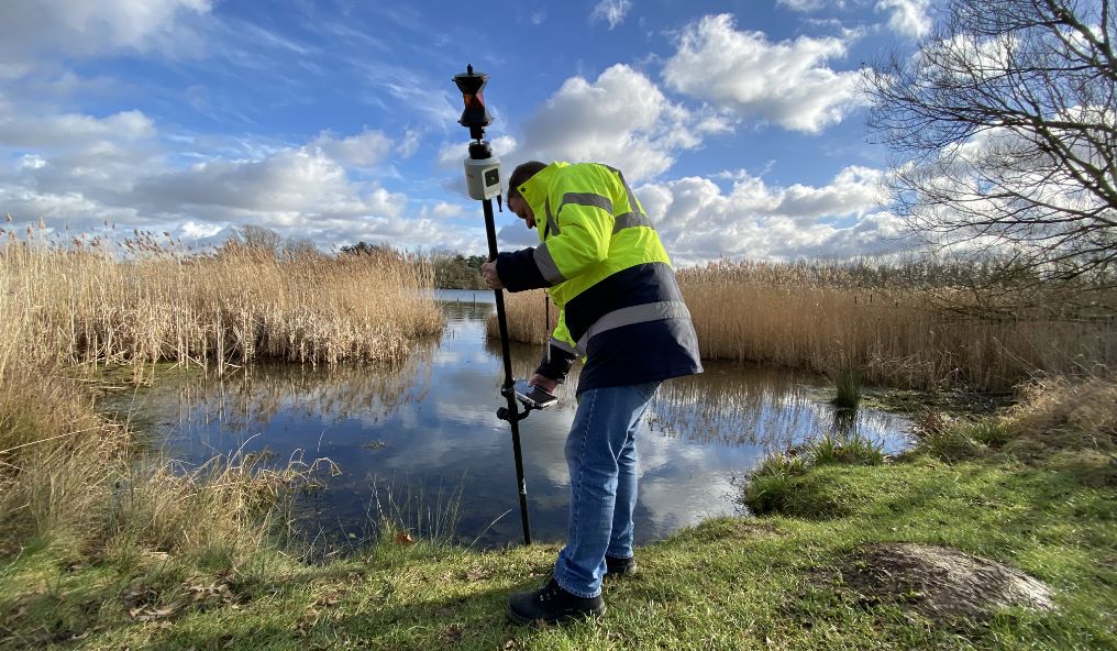
From mapping out the next city skyscraper to ensuring your local school is built in the right spot – surveyors play a key role in land development, construction, mining, transport, and environmental projects.

Female surveyor with some measuring equipment smiling at the camera

5 reasons to become a surveyor

Surveyors are in demand
Surveying is for everyone
Make a difference to our communities and world
Surveyors work all over the world
Great mixture of working outside and then analysing data in the office 

How to become a surveyor

Whether you have GCSEs, A-levels, T-levels, a university degree, or you’re considering apprenticeships, conversion courses, or professional training—there’s a path into the world of surveying for you.

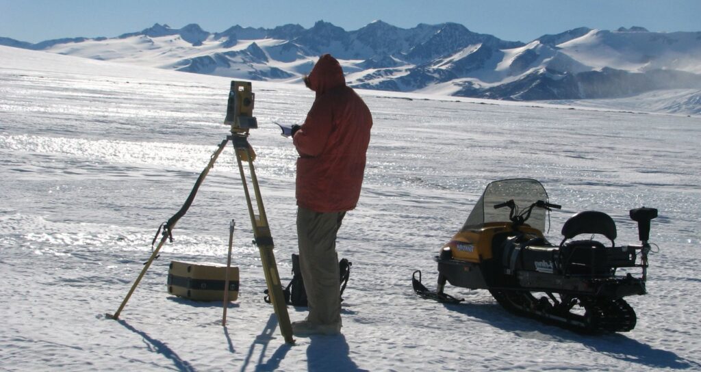
No matter which path you choose, surveying offers a mix of outdoor adventure, technology, and problem-solving. Ready to map your future?

Get inspired

“Every day is a new challenge. I love that my work makes a real difference.”

Career snapshot

Who’s hiring surveyors?

Surveyors work in lots of different places.

You might find yourself with an engineering or construction firm, a government agency, or a surveying and geospatial consulting company. Some surveyors work for utility or infrastructure providers, while others join oil, gas, or mining companies. There are also opportunities with environmental and conservation organisations, the military and defence, or even tech and geospatial software companies.

Earning potential

Check out the latest jobs in different locations all over the UK, showing job descriptions and salaries

Your path into surveying

Becoming a surveyor means learning the right technical skills and getting hands-on experience. Whether through courses, apprenticeships, or degrees, the training you choose will help you start your career and grow in this exciting field.

University degree
BSc/BEng in geospatial-related field
3 – 4 years
Master’s degree
MSc (optional for specialisation)
+1 yr
Apprenticeship
Level 3–6 (earn + study)
2 – 5 years
Short courses
Certs or diplomas (entry to mid roles)
Varies

Opportunities ahead

Geospatial surveying is a career on the rise, with demand growing across many industries. As cities expand and technology advances—think drones, satellites, and powerful mapping software – the need for skilled surveyors keeps increasing.

Surveyors are involved in all kinds of projects, from building new roads and bridges, to protecting the environment, helping farmers use land more efficiently, and supporting major government initiatives.

Learning in-demand skills, like working with GIS tools or flying drones, can give you a real edge in the job market. If you enjoy technology, being outdoors, and solving problems, surveying offers plenty of exciting opportunities and a strong future.

What skills do I need?

Surveying uses a mix of technical know-how, problem solving, and people skills. Some of the key skills that will help you succeed include:

  • Technology – using the latest tools and software.
  • Observation – noticing details others might miss.
  • Data analysis – making sense of maps, measurements, and results.
  • Problem solving – finding solutions to challenges on the job.
  • Communication – sharing ideas clearly with clients and your team.
  • Teamwork – working well with others on projects big and small.
  • Adaptability – adjusting when plans or conditions change.
  • Attention to detail – making sure everything is accurate and precise.


Opportunities

Apprenticeships
Jobs

Geospatial Surveyor

Alfreton

Land Surveyor

UK

Courses to get you started
Survey School Logo

TSA Surveying Course

Get started